Usage Workflow
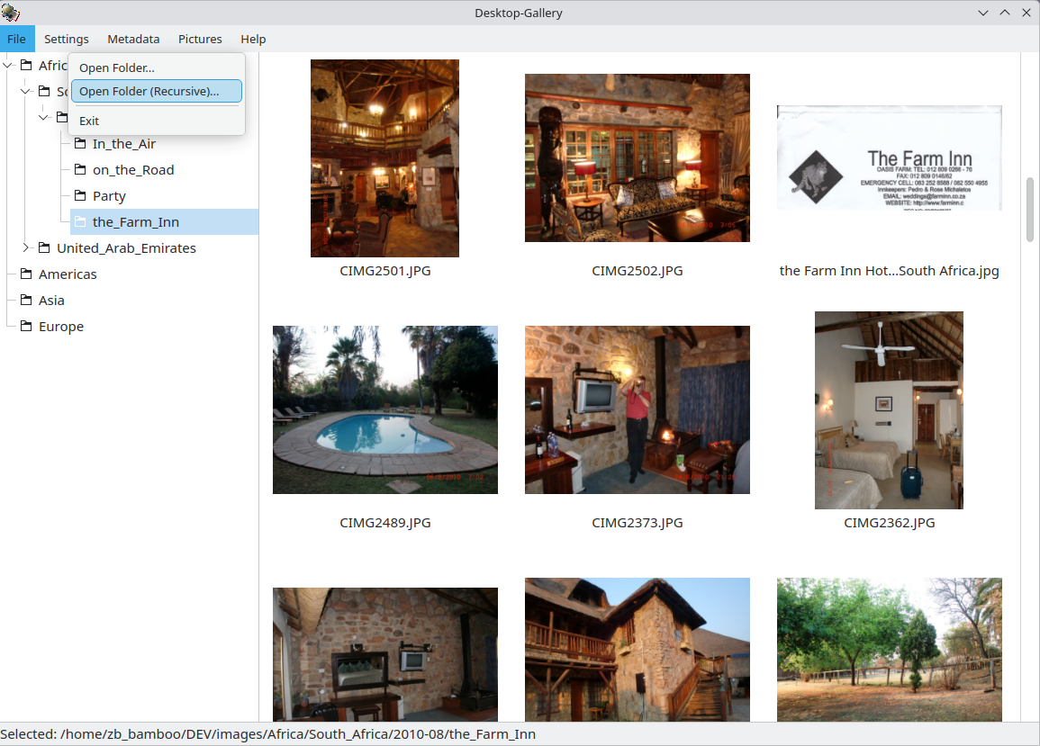
Import: Use File -> Open Folder (Recursive) to scan your image library.
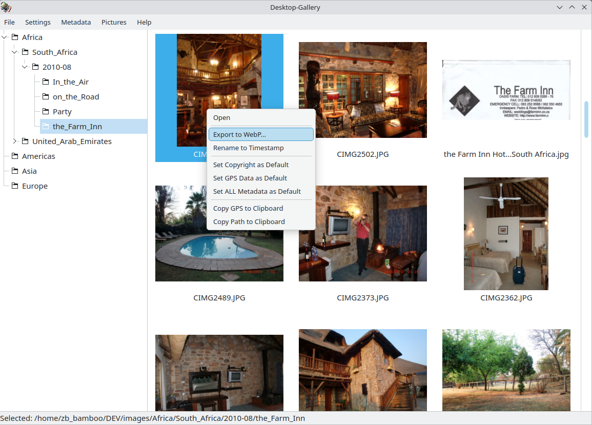
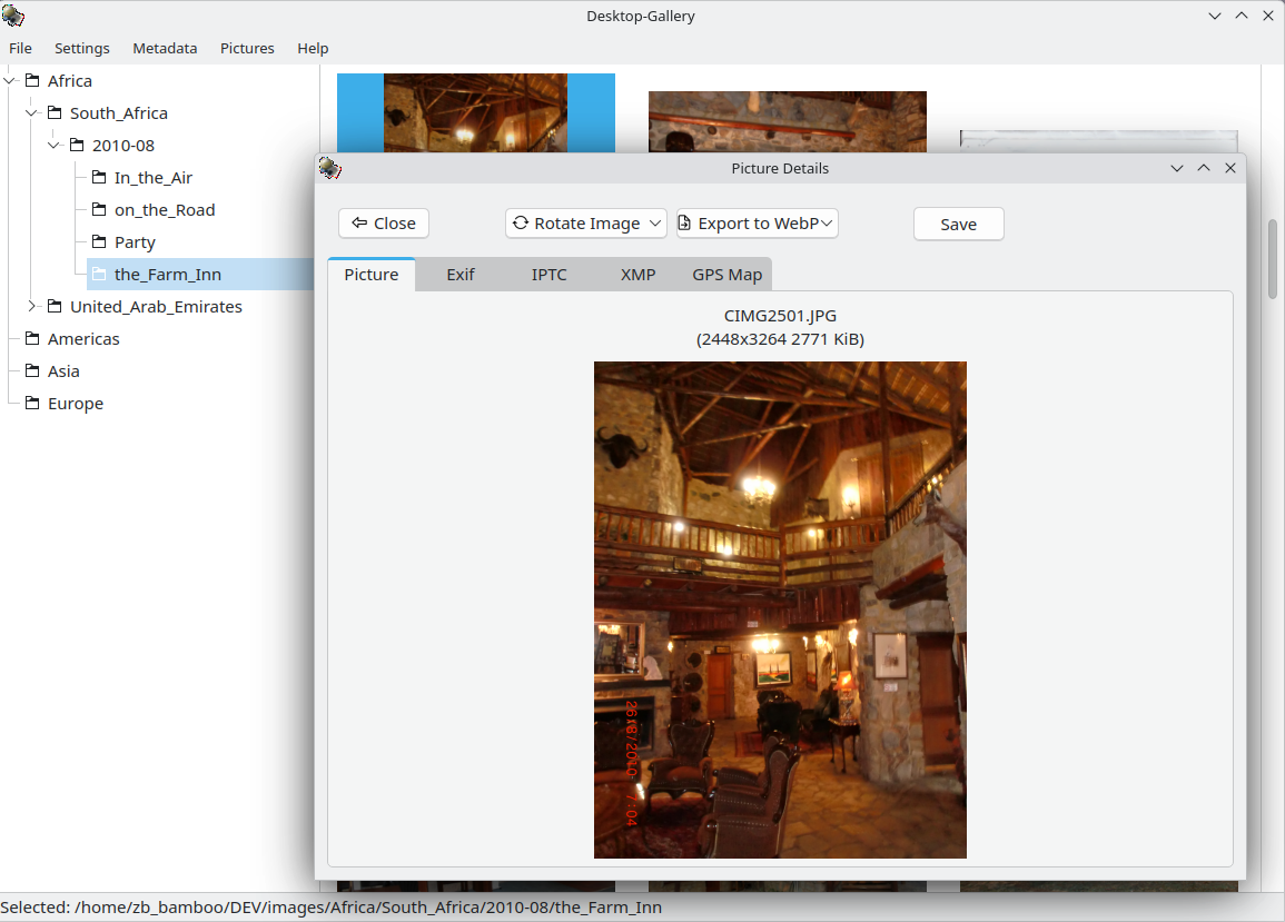
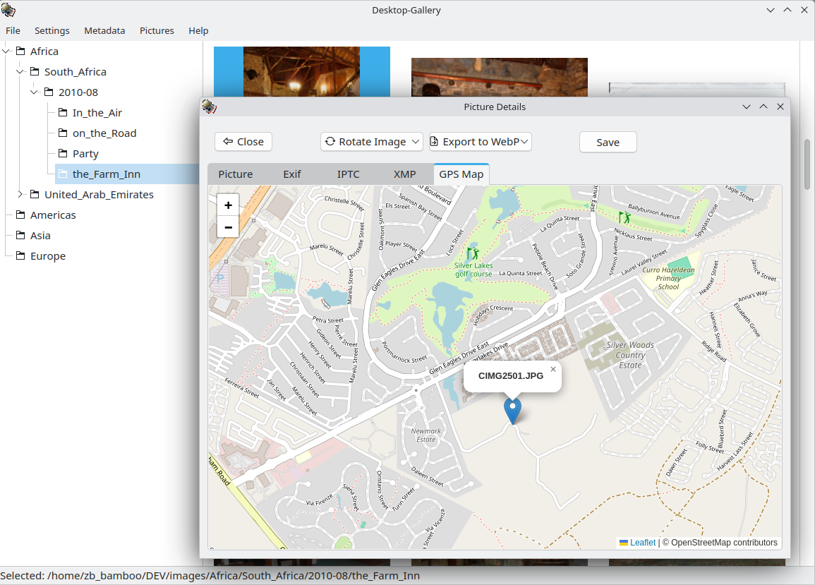
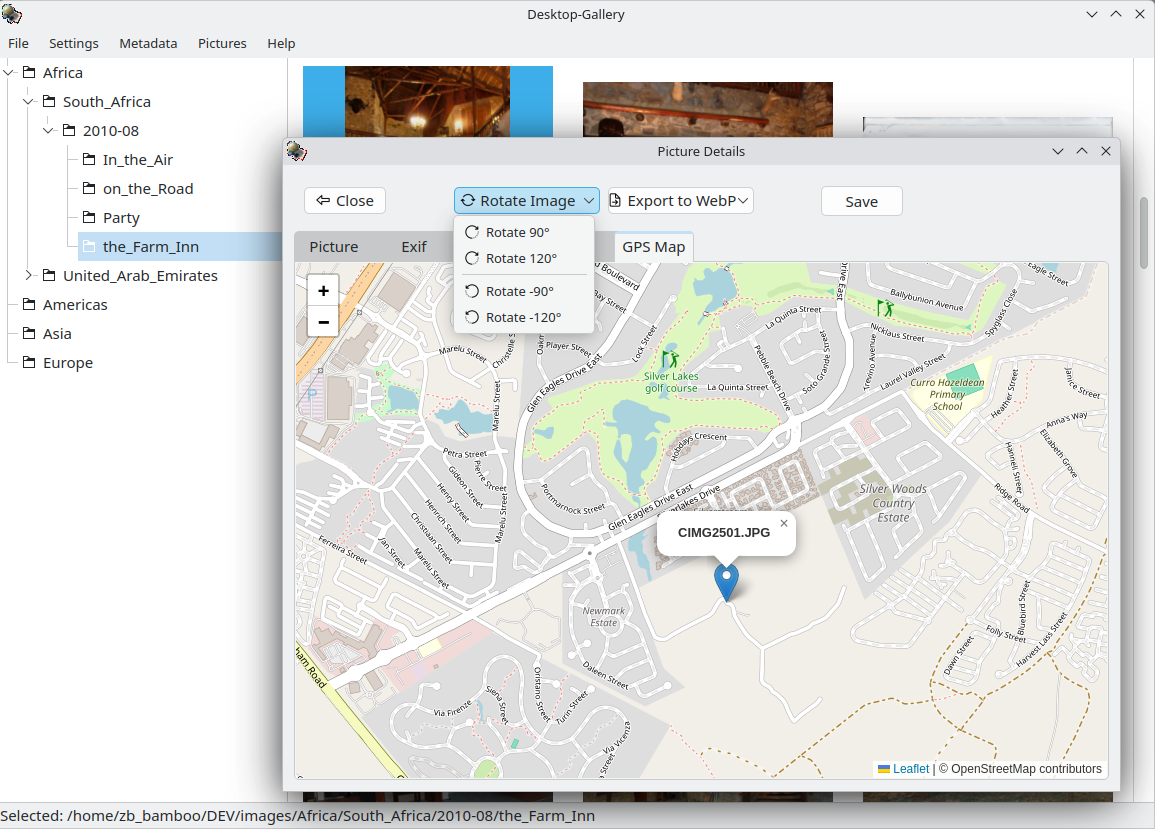
Organize: Select images to view details. Use the context menu to copy GPS data or paths.
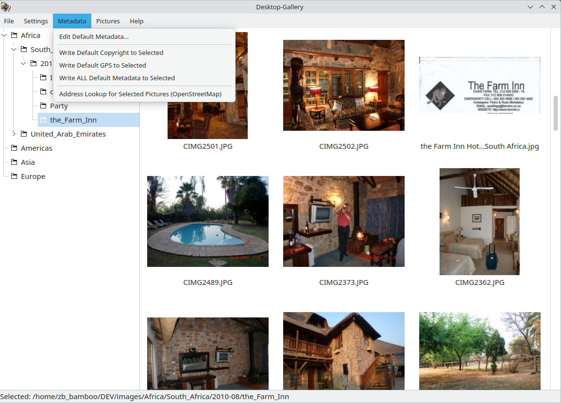
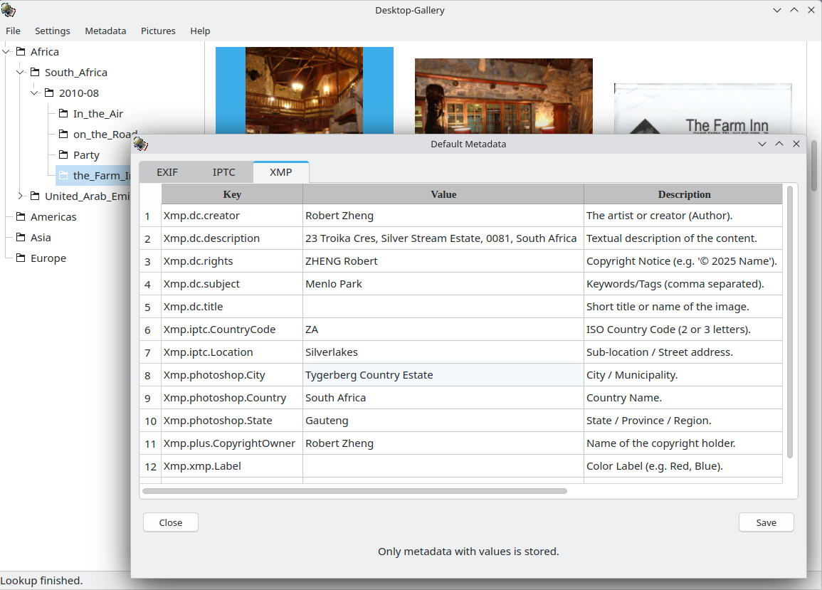
Edit Metadata: Double-click metadata fields to edit. Use Metadata -> Write default... for bulk updates.
Geocode: Select images with GPS data and run Metadata -> Address lookup to auto-fill location tags.
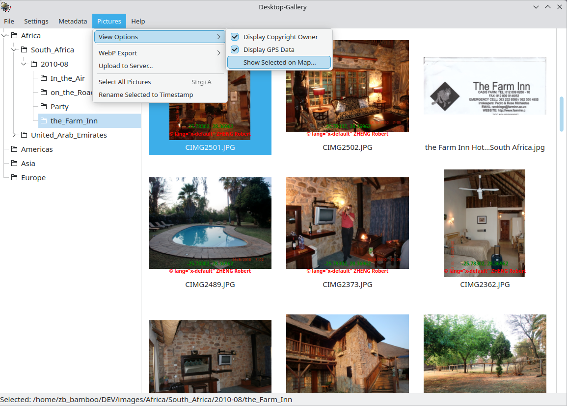
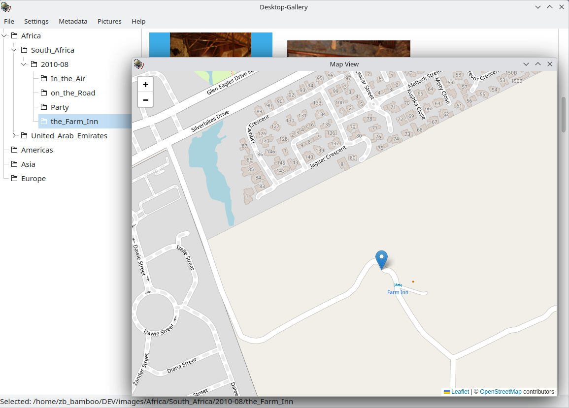
Visualize: Use Pictures -> Show selected on Map to see locations.
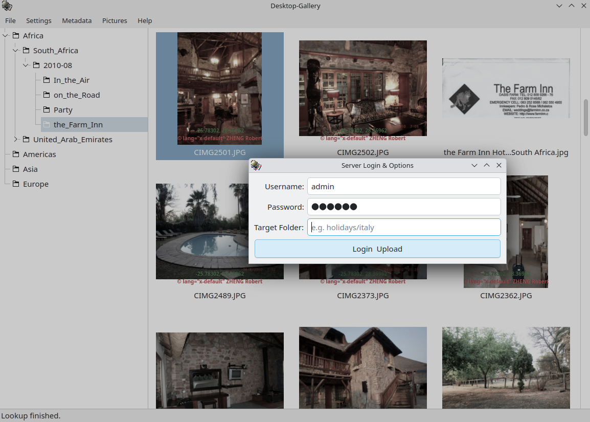
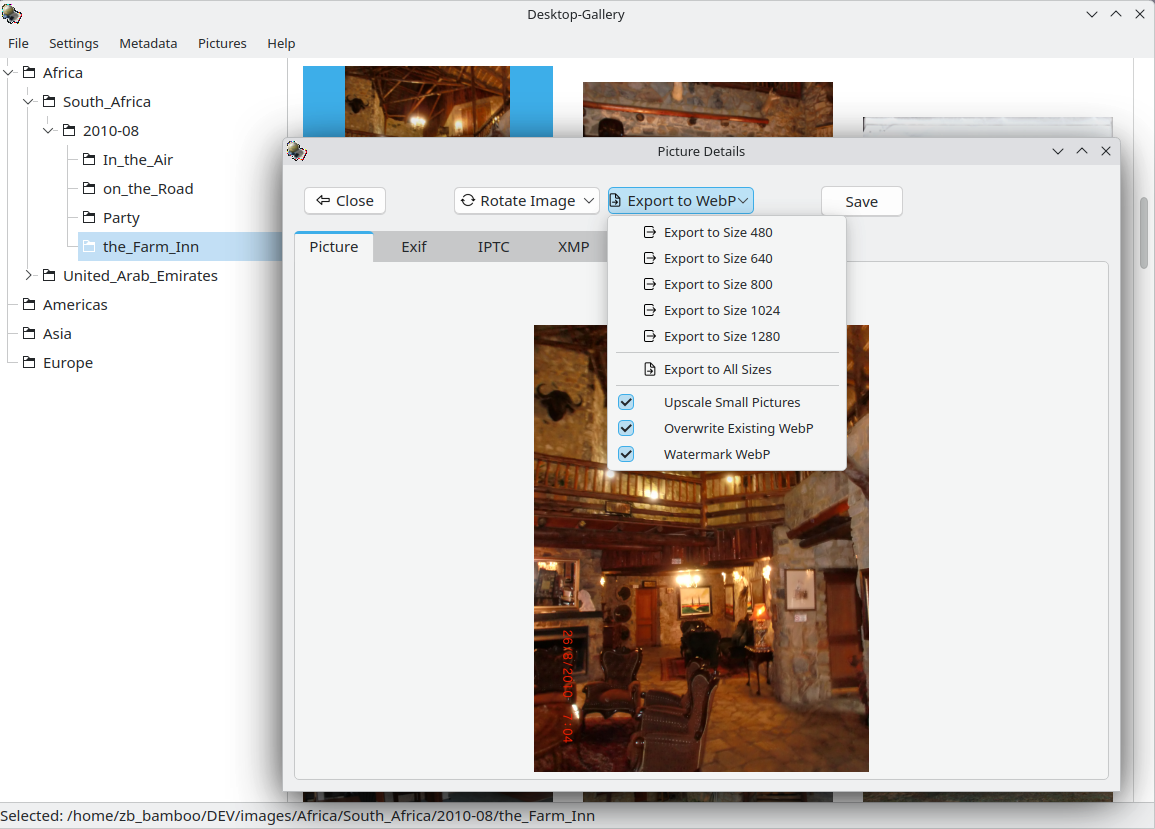
Export/Upload: Use the WebP Export menu for local conversion or Upload to Server to push to your web gallery.